https://www.altwym.nl/wp-content/uploads/2018/01/INT-Mali-Missie-training-Foto-AW.jpg
![Aanvalsplan Grutto]()
![Ardea Sahel Special]()
![Pilot Naar Een Vitaal Weidevogellandschap Idzegea 2013 2015. Resultaten En Ervaringen]()
![OPIDIN Predicting The Flood In The Inner Niger Delta]()
![ATLAS Les Plaines Inondables Du Delta Intérieur Du Niger]()
![Adres Onbekend. Verplaatsing Van Grutto’s Bij Habitatverlies Door Woningbouw En Infrastructuur]()
![Broedvogels En Beheer In De Weerribben 1999 2007. Kritische Factoren En Herstelmaatregelen Voor Moerasvogels Met Instandhoudingsdoelen]()
![Water Sharing In The Upper Niger Basin]()
![Verkenning Afslag Eems Dollardkwelders]()
![Exploitation Of Intertidal Flats In The Oosterschelde By Estuarine Birds]()
![Predicting The Annual Peak Flood Level In The Inner Niger Delta]()
GIS-analyses


Publicaties
GIS-analyses / Werk maken van herstel
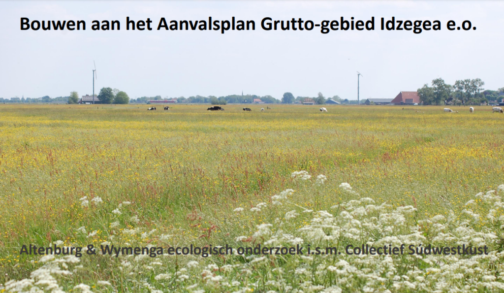
10 april 2024
Ruimtelijke analyse voor Aanvalsplan Grutto-gebied Idzegea e.o.
Bekijk PDF online (8,08 MB)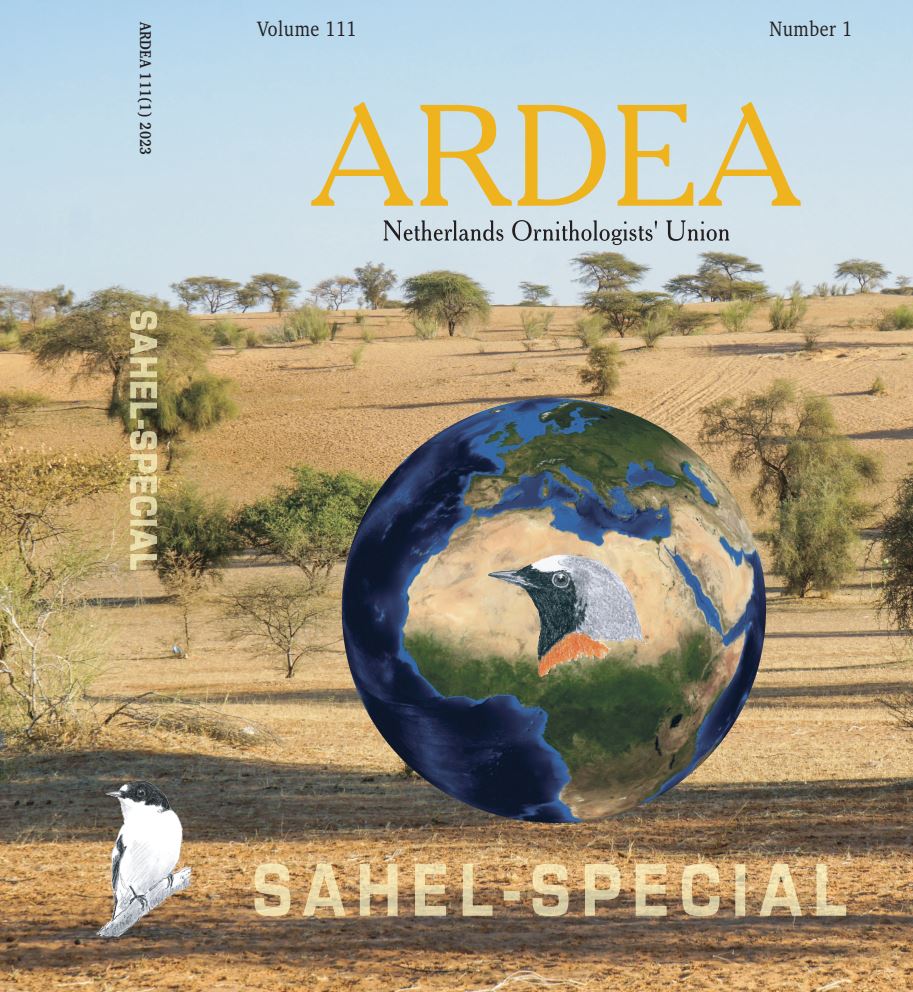
Biodiversiteit / Dierbeweging en zenderstudies / Geo-analyse / GIS-analyses / Klimaat en Water / Monitoring van biodiversiteit / Waterbeheer internationaal
1 april 2023
Ardea Sahel-Special
Bekijk PDF online (41,42 MB)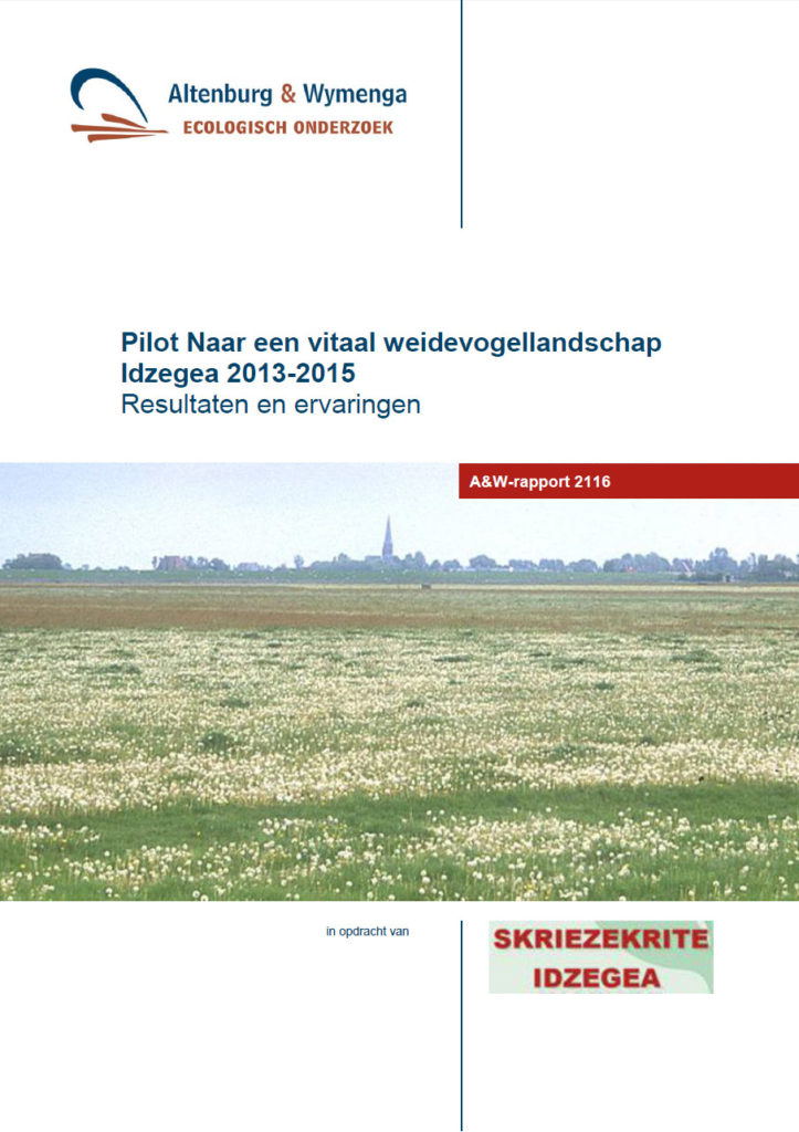
Geo-analyse / GIS-analyses / Werk maken van herstel
8 juli 2015
Pilot Naar een vitaal weidevogellandschap Idzegea 2013-2015. Resultaten en ervaringen
Bekijk PDF online (1,85 MB)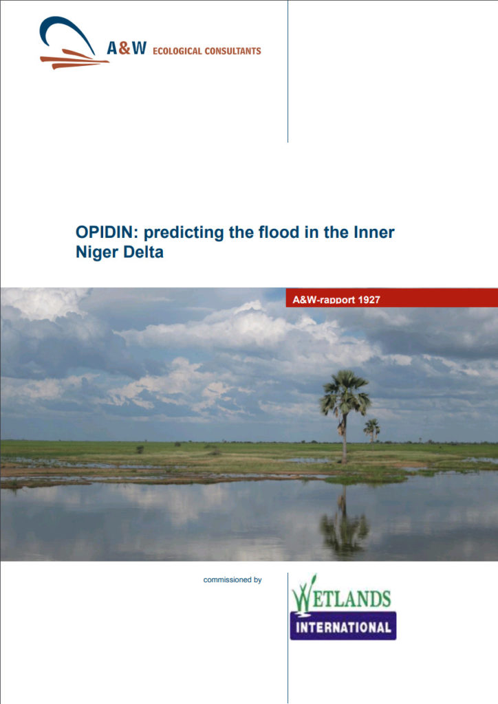
GIS-analyses / Waterbeheer internationaal
29 juli 2013
OPIDIN: Predicting the flood in the Inner Niger Delta
Bekijk PDF online (4,38 MB)
GIS-analyses
28 juni 2013
ATLAS les plaines inondables du Delta Intérieur du Niger
Bekijk PDF online (39,60 MB)
Ecologische begeleiding / GIS-analyses / Werk maken van herstel
21 maart 2012
Adres onbekend. Verplaatsing van Grutto’s bij habitatverlies door woningbouw en infrastructuur
Bekijk PDF online (1,25 MB)
Ecologische effectenstudies / GIS-analyses
1 maart 2012
Broedvogels en beheer in de Weerribben 1999-2007. Kritische factoren en herstelmaatregelen voor moerasvogels met instandhoudingsdoelen
Bekijk PDF online (21,55 MB)
GIS-analyses / Toekomstbestendig waterbeheer / Waterbeheer internationaal
25 januari 2012
Water sharing in the Upper Niger Basin
Bekijk PDF online (1,16 MB)
Effecten en beoordeling / Geo-analyse / GIS-analyses / Klimaat en Water / Wadden, zee en delta's
9 juni 2011
Verkenning afslag Eems-Dollardkwelders
Bekijk PDF online (5,95 MB)
Effecten en beoordeling / GIS-analyses / Wadden, zee en delta's
24 mei 2011
Exploitation of intertidal flats in the Oosterschelde by estuarine birds
Bekijk PDF online (7,30 MB)
GIS-analyses / Toekomstbestendig waterbeheer / Waterbeheer internationaal
10 februari 2009