Geo-analysis
GIS analyses
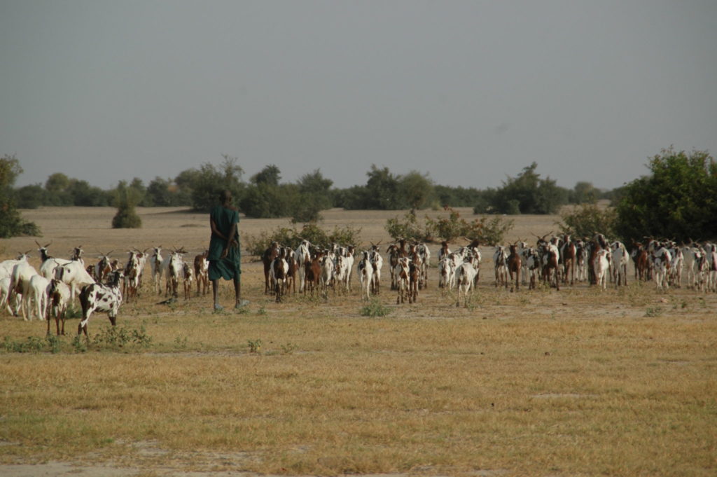
Geo Information Systems are a powerful tool for surveying, representing spatial patterns or analyzing (field) data. Vegetation patterns are explained when combined with altitude, soil and groundwater maps, and distribution and movement patterns of animals become logical when combined with maps of suitable foraging areas. This may be highly useful for management and conservation planning. We offer a wide range of informative mapping and GIS analyses, including (digital) surveying techniques.