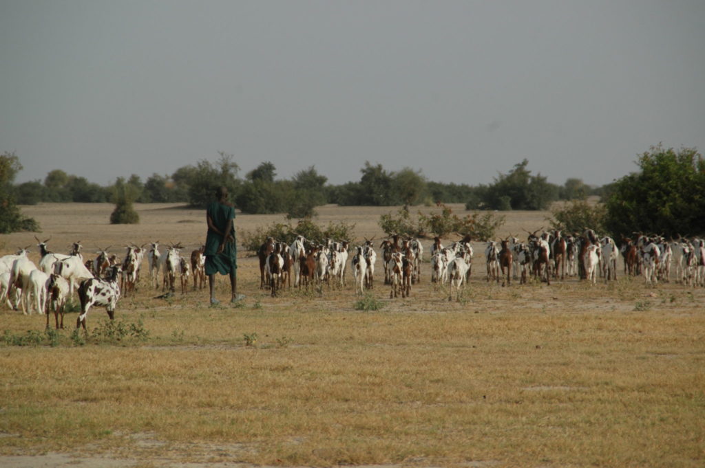
The Sourou Valley in eastern Mali is located between the cliffs of Bandiagara and the border with Burkina Faso and belongs to the Volta Basin. The Sourou is a special region in many aspects. The valley is home to one of Mali’s last large wetlands, which still has significant natural resources and biodiversity. Today, the Valley is an important agricultural zone, both in Mali and Burkina Faso, for the supply of cereals, vegetables, fish, livestock, etc. The area is becoming increasingly a refuge for migrants from central and northern Mali, where natural resources are often depleted and insecurity is taking root.
The management of the natural resources of the Sourou Valley is a necessity and a challenge at the same time. The development of the Sourou valley is endorsed by the different ministries and services in Mali and supported by the Embassy of the Netherlands, through the PCA-GIRE program. To support this process, A&W produced an Atlas of land use of the Sourou valley. This atlas, commissioned by CARE International, contains three parts. The first and third part can be downloaded; see also the sourou website; for the second part please contact us.